

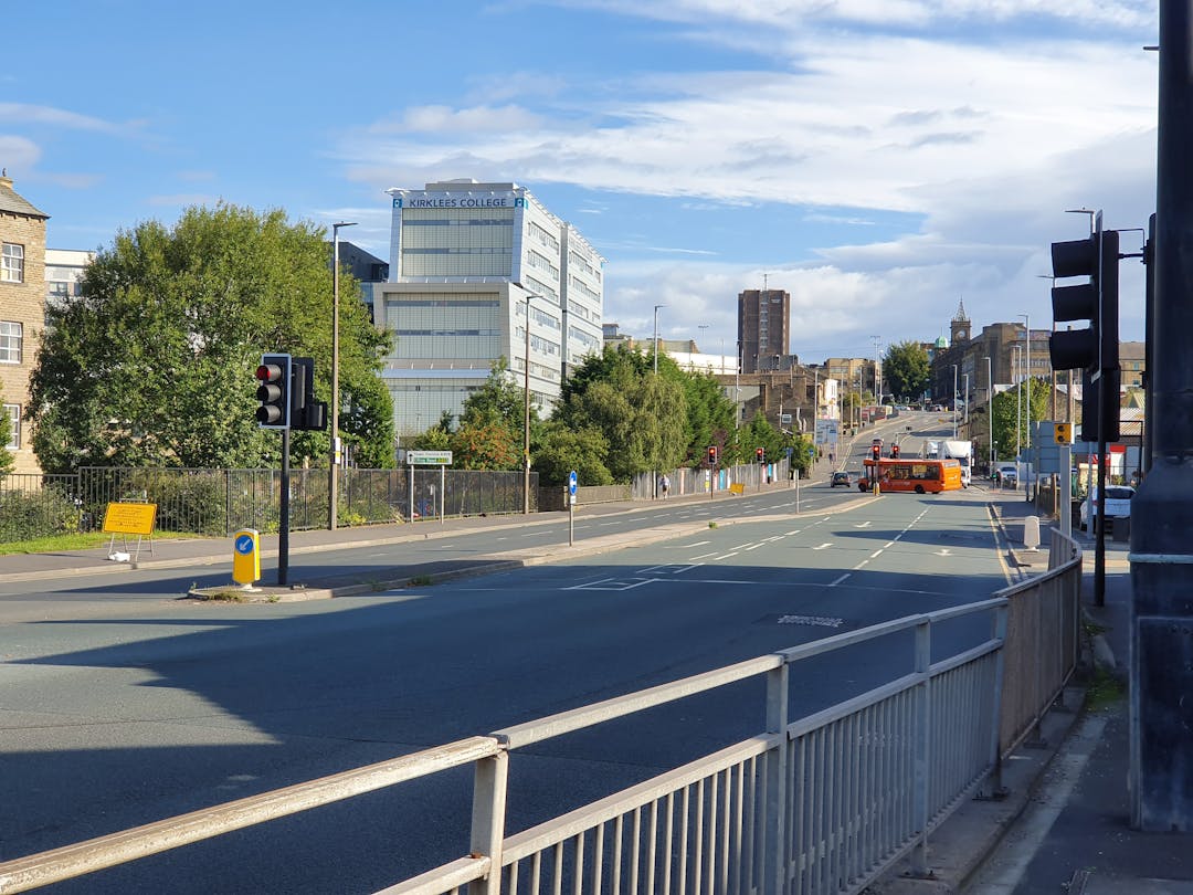
Huddersfield Southern Corridors
This engagement has now closed, thank you for taking part.
June 2023 update:
Traffic Regulation Order (TRO) local consultation.
Residents and business owners in properties close to Longroyd Lane are invited to provide comments on the proposals (B) Longroyd Lane. Please note the limited use of shared pedestrian and cycle spaces, need to connect the protected walking spaces, and separate protected cycling spaces, to the proposed signal crossings, which are for both pedestrians and cyclists. Please also note that the proposed side road access to the private site north of Longroyd Lane, is intended to be constructed with a set of double yellow lines (no waiting at any time) traffic regulation order (TRO) to protect two-way traffic movements. Please send any comments to Muhammad.Qadri@kirklees.gov.uk(External link)
December 2022 update:
Folly Hall construction
The construction of Folly Hall is well underway and includes improvements on Queen Street South and Folly Hall itself. Works began on site in June 2021 and we are now entering the final stage of construction, which is the re-surfacing stage, and is programmed for January 2023. We anticipate the works will take 3 to 4 weeks depending on the weather.
The extent of the resurfacing works can be found here.
In order to undertake the resurfacing works it will be necessary to divert traffic. The proposed diversion routes can be found here.
November 2022 update:
Lockwood Traffic Regulation Order (TRO) Local Consultation
Residents and business owners in properties close to the planned changes are asked to provide comments on the proposals.
Please review the proposed TRO plans (available under Traffic Regulation Order plans) and if you have any comments, please share them with us by emailing charles.wong@kirklees.gov.uk(External link).
The TRO plans show the proposed restrictions and modifications to the highway which will be legally enforceable. A description of the proposed changes can be found in the TRO description.
Those who have seen the design layout in December 2021, may notice that there are changes to the Lockwood plan 1 and plan 2 where the yellow line road markings at the side roads’ junction and the controlled pedestrian crossing near the school has been relocated to the other side of the new junction. If you have any comments on these minor amendments, please let us know.
| October 2022 Update: There have been two extensive public engagements on this scheme and a “you said we did” document can be found on this page. The Huddersfield Southern Corridors scheme designs have now been further amended to take on board the Government published ‘Gear Change’ (LTN1/20), which describes the vision to make England a great walking and cycling nation. The new guidance sets out the actions required at all levels of government to make this a reality, grouped under four themes: · better streets for cycling and people · cycling and walking at the heart of decision-making · empowering and encouraging local authorities · enabling people to cycle and protecting them when they do The designs have been modified to provide improved facilities for cyclists and pedestrians, including footway widening, segregated cycleways and upgraded cycle and pedestrian crossings. Key changes to the previous designs can be found in this document. Next steps The programme is likely to be: Full Business Case Completed – December 2022 Procurement – January to March 2023 Final Approval – April 2023 Construction Starts - May 2023 |
The below information was presented during the public engagement period 30 September - 25 October 2019
Plans have been developed to improve four key locations on busy routes to the south of Huddersfield town centre, where there are delays, queuing traffic, and limited facilities for pedestrians and cyclists. These routes are often severely congested at peak times, which makes travel difficult, and travel times unreliable and slow.
The four locations are:
- Lockwood Bar - A616 Lockwood Road / Bridge Street / 'Lockwood Bar' / Albert Street / Crowther Street
- Longroyd Lane - A62 Manchester Road junction with Longroyd Lane and B6432 St Thomas' Road
- Folly Hall - A616 Lockwood Road / Chapel Hill junction with B6432 Colne Road and St Thomas' Road
- Queensgate - Huddersfield Ring Road, linking to Cross Church Street and Shorehead Roundabout
Plans have been developed with the aim to:
- Reduce congestion
- Reduce journey times
- Improve air quality
- Enhance the public realm
- Reduce the potential for accidents
- Improve conditions for cyclists and pedestrians
- Improve bus reliability
- Enable access to land for new housing and economic development
West Yorkshire Transport Fund
This project has received funding through the West Yorkshire Plus Transport Fund and the Leeds City Region Growth Deal - a £1 billion package of Government investment through the Leeds City Region Enterprise Partnership (LEP), delivered by the West Yorkshire Combined Authority to accelerate growth and create jobs across Leeds City Region.
Lockwood Bar - A616 Lockwood Road / Bridge Street / 'Lockwood Bar' / Albert Street / Crowther Street
The proposed plan for Lockwood Bar has been developed to reduce the amount of traffic flow through the community area og Lockwood Bar. To do this vehicle turns between Lockwood Road and Bridge Street will be limited, some to bus movements only, and the relocation of the existing pelican crossing to the junction. Some traffic will be diverted between Bridge Street and Lockwood Road by an improved Albert Street. Overall enhancements include road and footpath resurfacing, landscaping and improvements to make it easier to travel on foot and access bus facilities.
Longroyd Lane - A62 Manchester Road junction with Longroyd Lane and B6432 St Thomas' Road
By creating a second lane toward the A62 Manchester Road the proposed plan aims to reduce queuing and delays experienced on Longroyd Lane and the A62 Manchester Road. The plan also includes improvements to make it easier and safer to travel on foot or by bicycle, including enhanced shared use pavements, pedestrian crossing and cycle stop lines at the junction.
The plan includes the demolition of some listed cottages - we will be seeking appropriate advice and guidance on this.
Folly Hall - A616 Lockwood Road / Chapel Hill junction with B6432 Colne Road and St Thomas' Road
By making a small reduction in the footpath and central reservation more on road space can be provided to increase the turning lanes. It is proposed in the plans that by doing this queuing and delays caused by turning traffic on the A616 Lockwood Road will be reduced. In addition, regulating some movements in or out of Colne Road as a more cost effective solution, is being investigated, this could mean banning turns from Colne Road onto Folly Hall and/or Lockwood Road.
Queensgate - Huddersfield Ring Road, linking to Cross Church Street and Shorehead Roundabout
The proposed changes to the road layout will allow traffic on the ring road to be managed better. Widened footways will allow cyclists and pedestrians to share the space and traffic light controlled crossing in front of the University will be changes so as to be able to cross Queensgate in one go.
The story so far
In March 2018 we contacted local residents and businesses in the four locations as part of an early engagement to get their views on our developing proposals (at this time the scheme was called the Huddersfield Southern Gateways). The feedback received has been used to prioritise the schemes development and create the proposed location improvement plans.
During summer 2019, to support the launch of Kirklees Council's Huddersfield Blueprint - a 10 year vision to create a thriving, modern-day town centre - we collected feedback and comments on the Queensgate location improvement proposals, because of how close it is to the town centre, and its link to another road improvement scheme on Cross Church Street.
We are now asking for your comments on all four locations to help us finalise our plans. We recommend that you view these plans before submitting your feedback. Your can view the plans in our photo gallery, or download a PDF copy to zoom in and see the detail. If you have a question, or wish to discuss the plan, you are welcome to visit one of our drop-in events (details can be found here), or email the team at major.transport@kirklees.gov.uk(External link).
The Huddersfield Blueprint
Kirklees Council launched the Huddersfield Blueprint - a 10 year vision to create a thriving, modern-day town centre on 26 June 2019.
The ambitious plan aims to deliver five key objectives for Huddersfield town centre: a vibrant culture, art, leisure and nightlife offer; thriving businesses; a great place to live; improved access; and enhanced public spaces.
It focuses on regenerating six key areas of the town centre: Station Gateway; St Peter's; Kingsgate and King Street; New Street; the Civic Quarter; and a new Cultural Heart in the Queensgate and Piazza area.
View the Huddersfield Blueprine at: kirklees.gov.uk/huddersfieldblueprint(External link)
Folly Hall updated plans December 22

Lockwood Traffic Regulation Order (TRO) plans
Plans document library
-
 Key Changes to the previous Huddersfield Southern Corridors Designs (49.5 KB) (pdf)
-
You Said We Did.pdf (67.1 KB) (pdf)
-
 Overview (779 KB) (pdf)
-
(A) Lockwood 1 (Nov 22) (2.56 MB) (pdf)
-
(A) Lockwood 2 (Nov 22) (851 KB) (pdf)
-
(B) Longroyd Lane (3.29 MB) (pdf)
-
(C) Folly Hall Phase 1 (799 KB) (pdf)
-
(C) Folly Hall Phase 2 (779 KB) (pdf)
-
(D) Queensgate 1 (1.38 MB) (pdf)
-
(D) Queensgate 2 (1.04 MB) (pdf)
-
Huddersfield Southern Corridors Privacy Policy (123 KB) (pdf)
